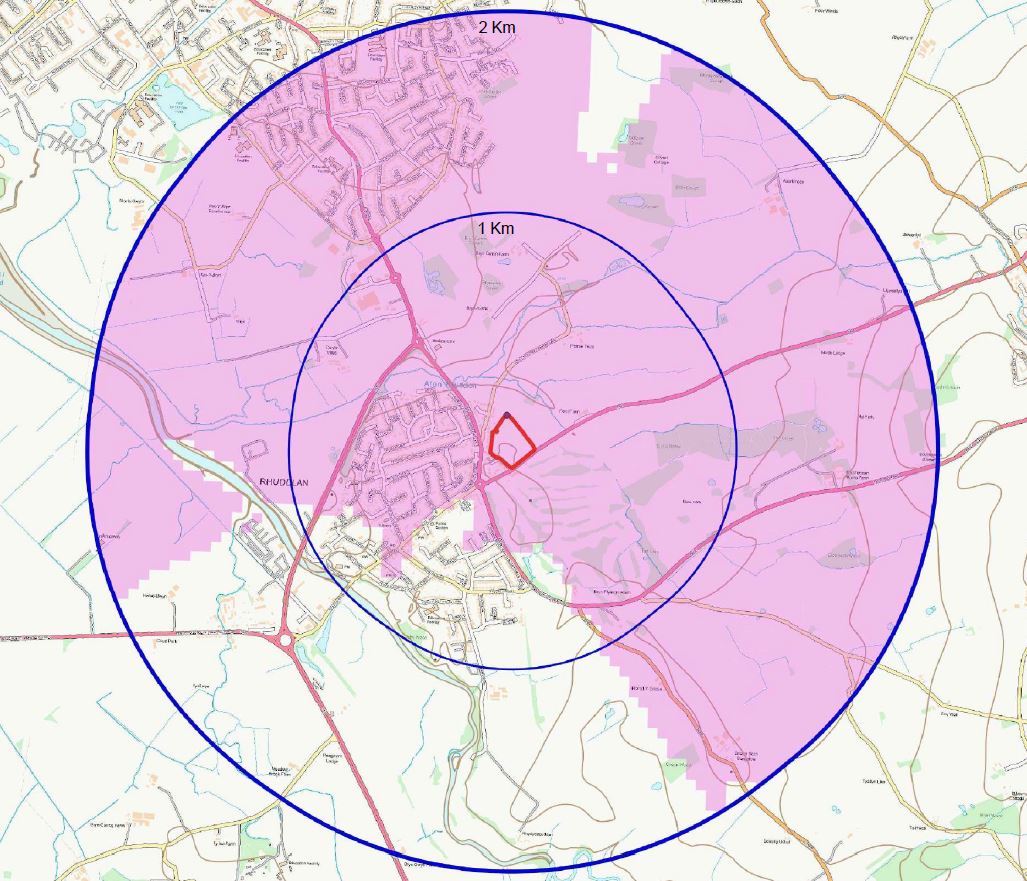
Zones of theoretical VISABILITY
Production of Zone of Theoretical Visibility, a computer-generated tool used to identify the ‘theoretical’ extent of visibility of a development. It is a desk study component of the visibility analysis. A ‘Bare Earth’ ZTV based on Ordnance Survey’s OS Terrain5 Digital Terrain Model (DTM) data can be provided that presents an extreme view of the possible ‘worst case’ visibility of the proposed development. The ‘Bare Earth’ ZTV does not consider existing features such as built form, vegetation, or woodland in the surrounding landscape that may contribute towards visually screening the proposed development from certain directions and positions. However, the ZTV is useful when defining the size of the study area and viewpoint locations for the LVIA.

Contact Us
For more information on ZTVs, or to discuss a specific project, contact our office on 0845 463 4404.
contact us